
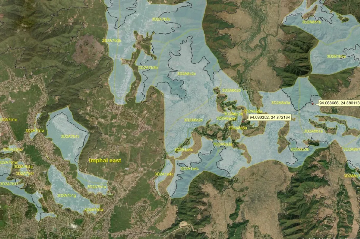
Building geospatial capacity through open-source training, mapping services, and outreach while transforming spatial data into actionable insights for sustainable planning and decision-making.
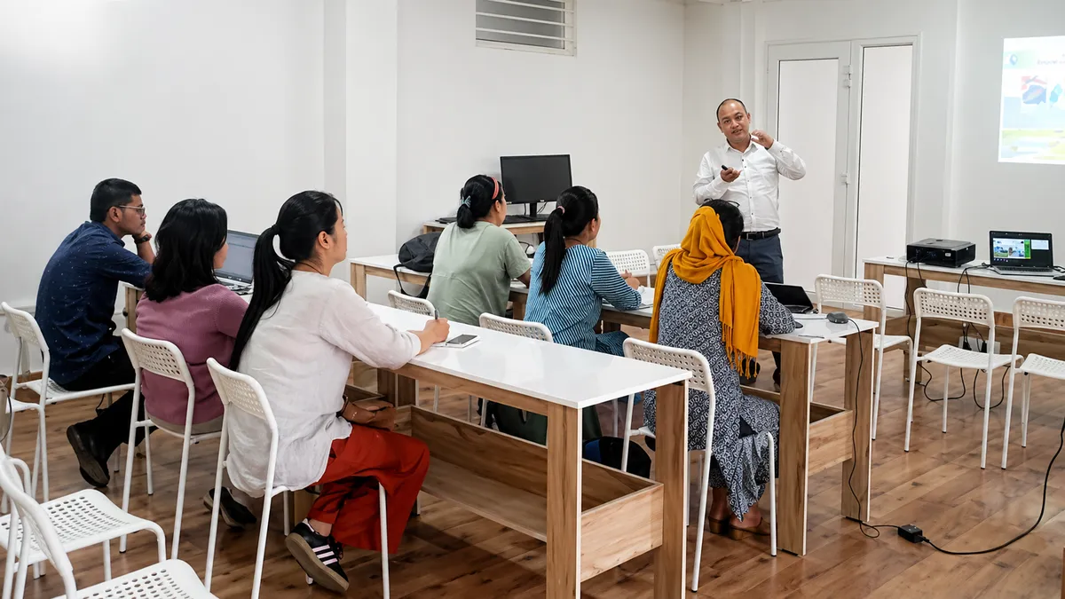
Master GIS, remote sensing, and spatial analysis through hands-on training while solving real-world challenges with data-driven geospatial solutions.
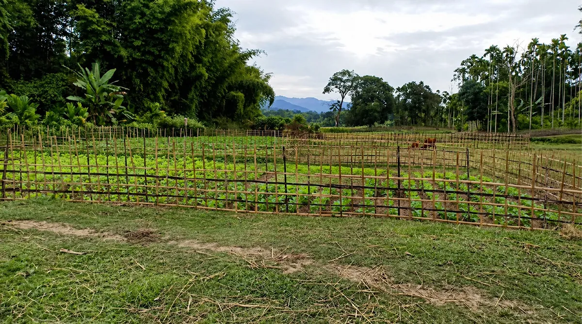
We turn complex geospatial data into clear, data-driven insights that support smarter planning, better decisions, and sustainable development.
Geo-Tech Solutions (GTS), Imphal is a GIS-based social enterprise delivering geospatial mapping, digitization, and decision-support services for sustainable development. We train professionals using open-source tools, support government and private sectors, and promote geospatial awareness in remote regions to improve transparency, planning, and environmental management.
Data Points Processed
Mapping Deployments
Reports Delivered
Professionals Trained
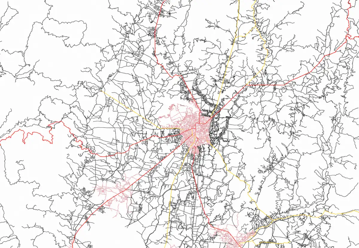
Contact us today for a no-obligation consultation. Partner with experienced geospatial professionals to transform your spatial data into actionable insights. From infrastructure planning to environmental analysis, we deliver precision-driven GIS solutions.
From project planning to environmental impact studies, we deliver GIS-driven solutions that enable accurate analysis, transparent reporting, and smarter resource management across sectors.
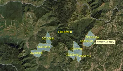
GIS Mapping & Digitization
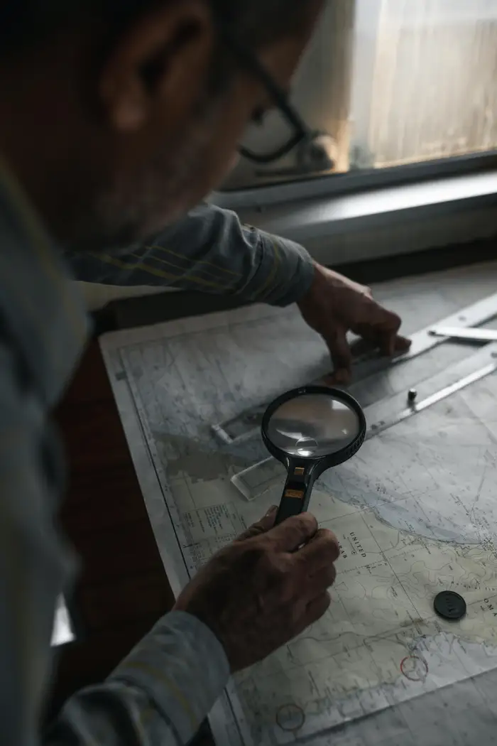
Spatial Data Analysis
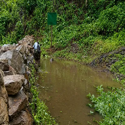
Environmental & Resource Mapping
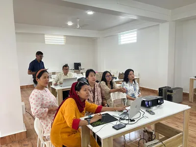
GIS Training & Capacity Building
We follow a structured, transparent approach to every project understanding local needs, collecting accurate spatial data, and delivering insights that support sustainable planning and informed decision making.
Consultation
We begin by understanding your project goals, challenges, and data requirements. Our team works closely with stakeholders to define the scope, identify suitable geospatial methods, and design a practical, results-driven GIS strategy.
Survey
We collect and prepare accurate spatial data through field surveys, satellite imagery, drone mapping, and existing geospatial datasets. This ensures reliable inputs for mapping, analysis, and informed decision-making.
Execute
Using advanced GIS tools and open-source technologies, we analyze data, create maps, and generate actionable insights. The final outputs support planning, environmental management, and transparent project implementation.
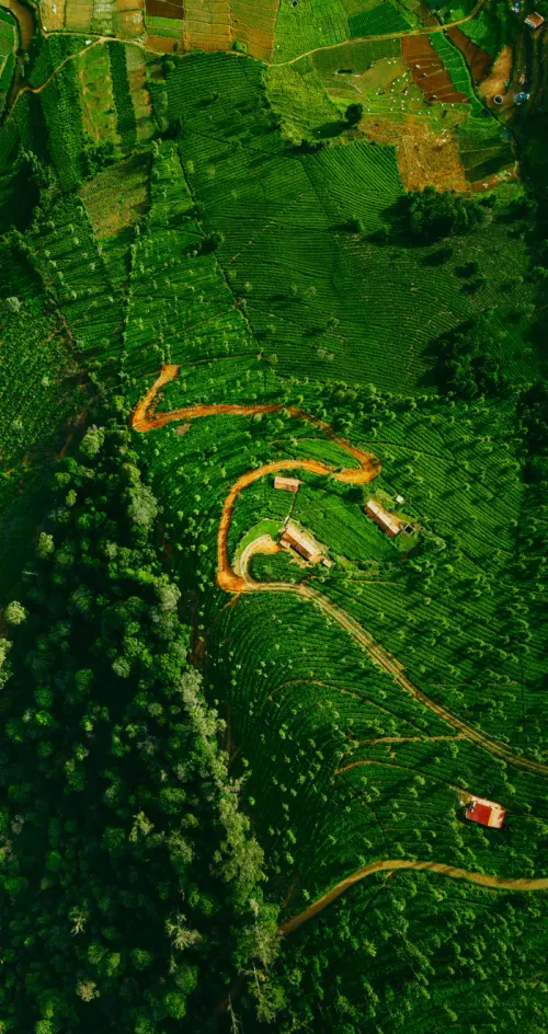
Our blog is a learning space for GIS enthusiasts and professionals, featuring tutorials, open-source tools, and real project examples to build geospatial knowledge and skills.
Quantum GIS
QGIS is an Open Source Geographic Information System. The project was born in May of 2002 and was established as a project on SourceForge in June of the same year....
16 Mar 2025
GRASS
Geographic Resources Analysis Support System, commonly referred to as GRASS GIS, is a Geographic Information System (GIS) used for data management, image processing, graphics production, spatial modelling, and visualization of many types of data....
16 Mar 2025

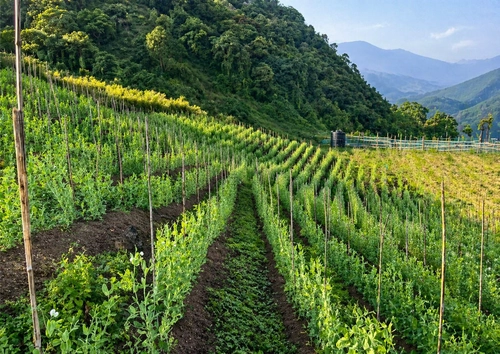
SRI Cultivation in Manipur
Manipur, a landlocked state in the far north-east corner of India is one of the most remote states of India. The state is surrounded in all side by hills and only 25% of its total geographical area of 22,327 Sq Km is valley....
16 Mar 2025

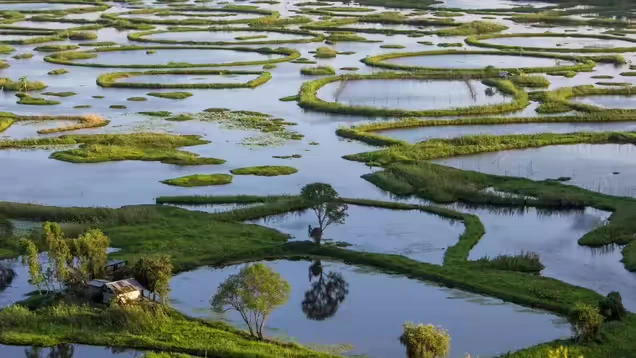
Biodiversity Conservation of Loktak Lake
Loktak Lake, the largest freshwater lake in north eastern India is situated between 930 46’ to 930 55’E longitudes and 240 25’ to 240 42’N latitudes in the State of Manipur....
16 Mar 2025
Manipur Forest Dept.
⭐ 5
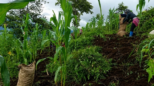
Geo-Tech Solutions helped us map and analyze forest resource data with great accuracy. Their GIS-based approach improved our planning process and brought better transparency to our conservation projects.
NEDFi
⭐ 5
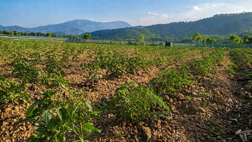
The team provided excellent support in spatial data analysis and mapping for our rural infrastructure projects.
GreenEarth
⭐ 5
GTS delivered high-quality geospatial analysis for our environmental impact assessments. Their use of open-source GIS tools made the process cost-effective and technically robust.
Urban Dev. Authority
⭐ 5
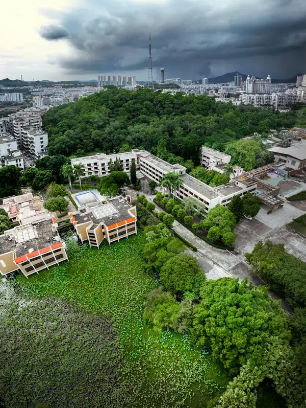
Their mapping and digitization services significantly improved our urban planning workflows. The insights provided through GIS helped us make more informed and sustainable decisions.
Come say hello at our office HQ
Sangakpham Rd, Near Lane 2,
Opposite Mittong, Lampak,
Laipham Khunou,
Imphal, Manipur 795001
Get expert consultation for your projects or enroll in our hands-on GIS training programs to build real-world skills.
We offer geospatial services including mapping, digitization, spatial data analysis, and GIS-based decision support for development planning, environmental management, and policy-making.
Yes, we conduct training programs focused on open-source GIS tools and practical geospatial techniques to help students, professionals, and organizations build technical capacity.
Our services support government departments, private organizations, researchers, and community groups involved in natural resource management, infrastructure planning, and environmental projects.
GIS helps analyze spatial data to make informed decisions about land use, resource management, and environmental protection, ensuring development is planned efficiently and sustainably.