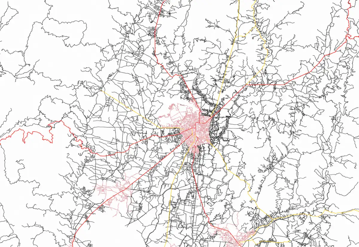
Turning Spatial Data Into Real World Impact
We turn complex spatial data into practical insights using GIS for smarter planning and resource decisions.
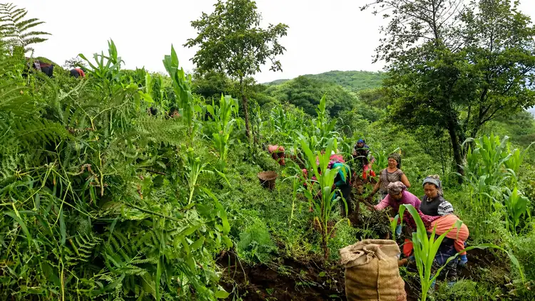
Our mission is to harness the power of geospatial technology to support sustainable development, informed decision-making, and responsible natural resource management. We aim to make GIS knowledge and tools accessible to communities, institutions, and professionals, especially in underserved and remote regions.
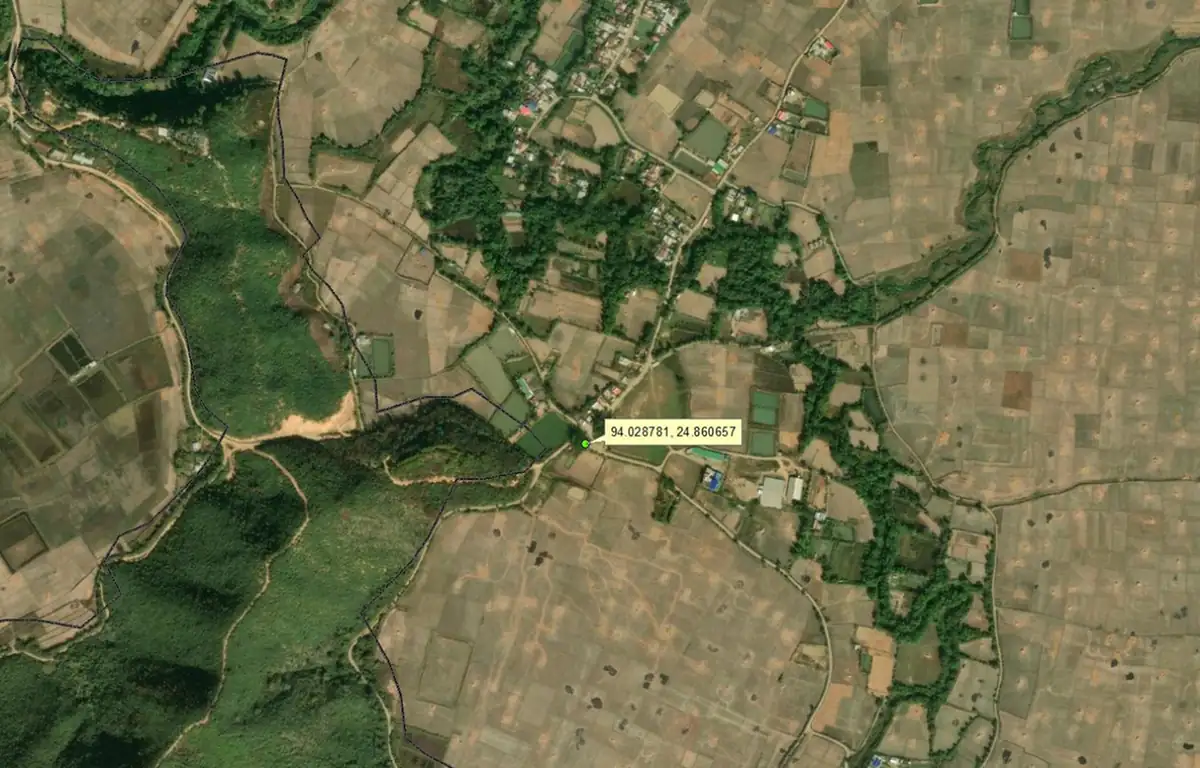
+
Accessibility
We believe geospatial knowledge should be open and accessible. By promoting open-source tools and practical training, we help communities and organizations build long-term GIS capacity.
+
Sustainability
Our work supports environmentally responsible planning and natural resource management. We use spatial data to guide decisions that balance development with ecological protection.
+
Integrity
We are committed to accuracy, transparency, and ethical use of geospatial data. Our analyses and maps are created with reliability and responsibility at the core.
+
Collaboration
We work closely with communities, institutions, and partners to ensure our geospatial solutions are practical, inclusive, and aligned with real-world needs.
+
Innovation
We continuously explore new geospatial technologies and methods to deliver smarter, more efficient solutions for mapping, analysis, and decision support.
+
Capacity Building
We focus on empowering individuals and organizations through training and knowledge sharing, helping them develop long-term skills in geospatial technologies.