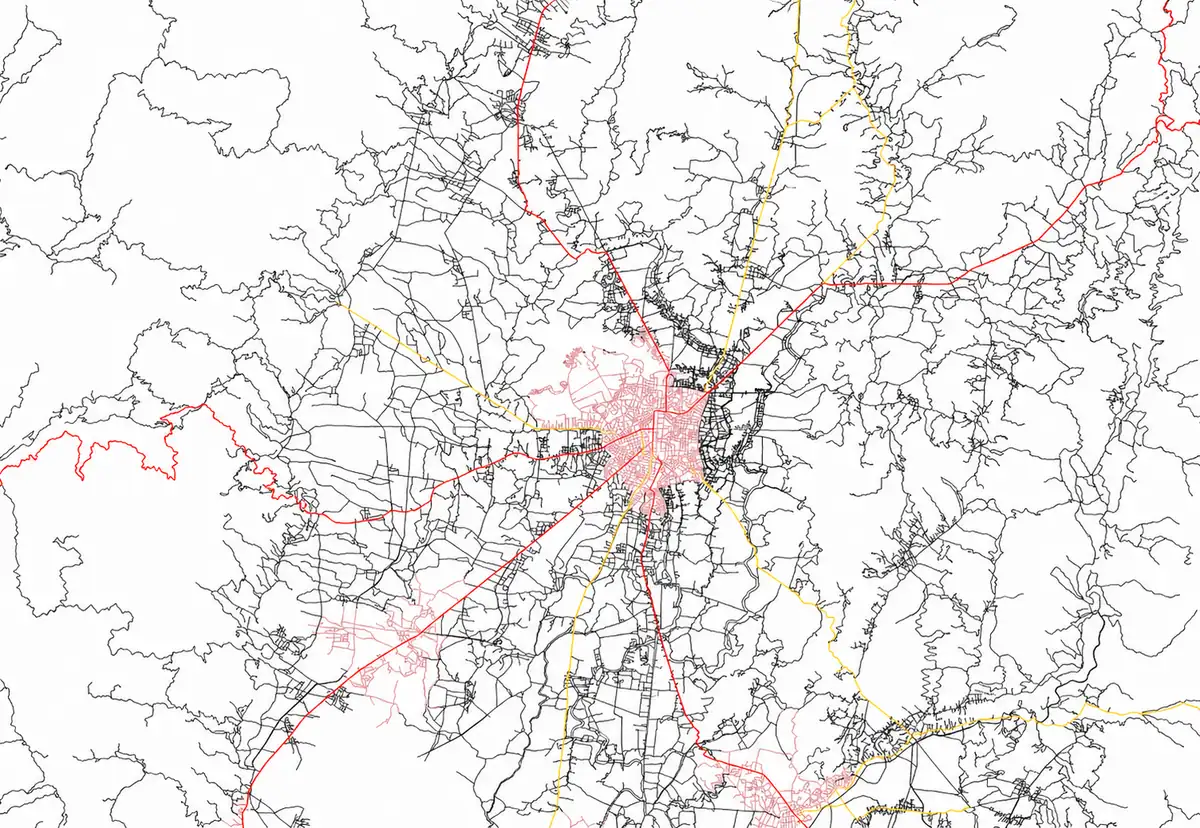
Master Geospatial Skills For The Future
Gain hands-on experience with GIS tools, mapping techniques, and spatial analysis to build practical skills for careers in geospatial technology, environmental planning, and sustainable development.
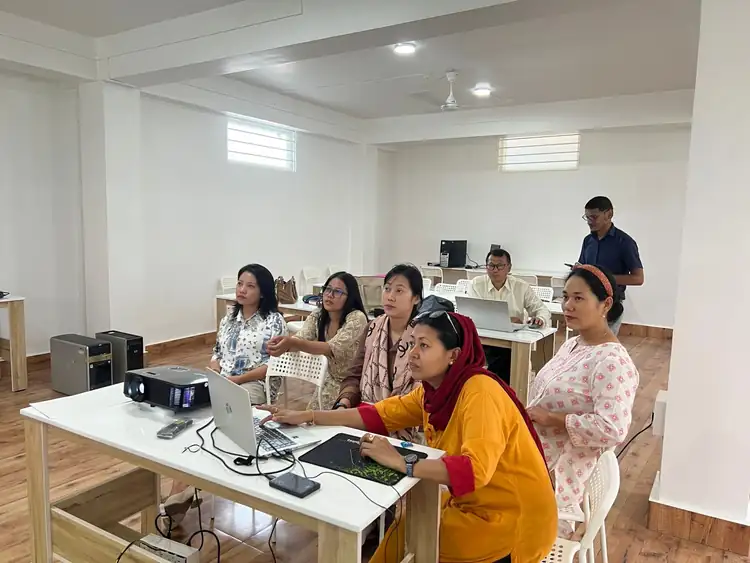
8-week Certificate Course on Remote Sensing and Geospatial Techniques.
About The Course
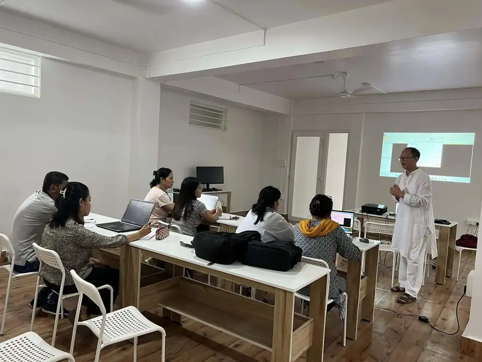
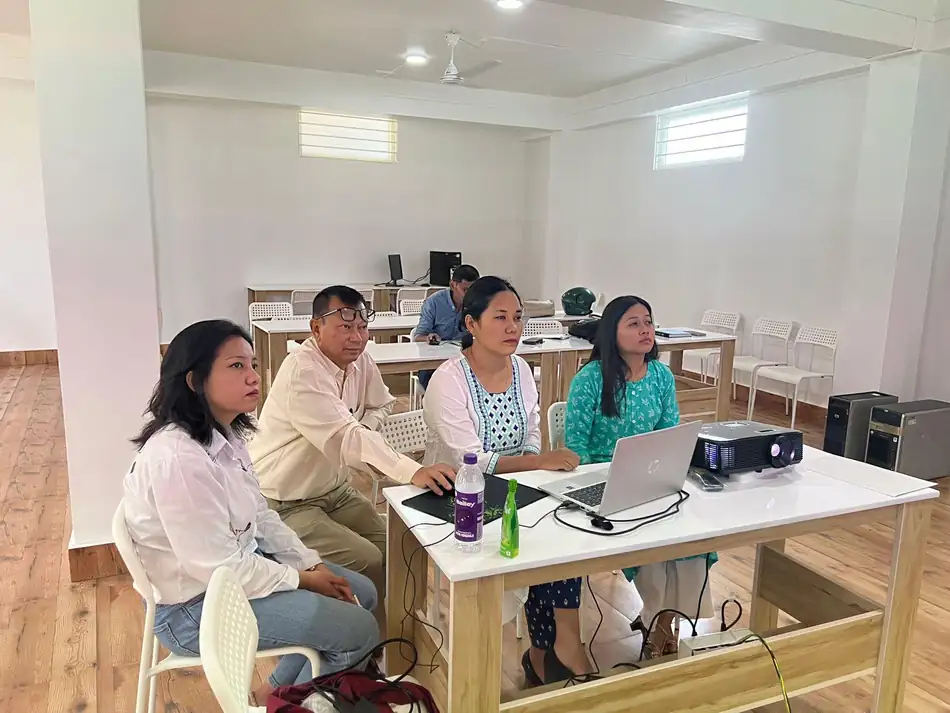
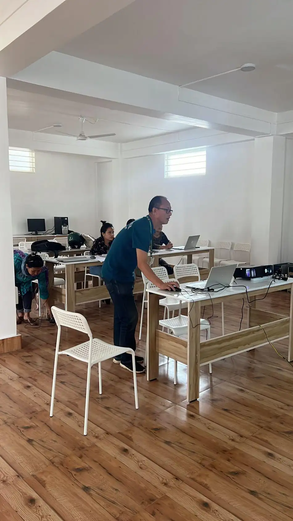
GeoTech Solutions, Imphal is pleased to announce an 8-week Certificate Course on Remote Sensing and Geospatial Techniques, tailored for professionals, research scholars, and students.
These courses are thoughtfully designed to cater to a diverse audience, including working professionals at various levels, recent graduates, researchers, academicians, and decision-makers. The standard course duration is 8 weeks, with the flexibility to adjust the length based on participants’ needs.
The curriculum has been meticulously crafted by domain experts in consultation with retired ISRO scientists and GIS professionals from various sectors. A dedicated team ofexperienced scientists will deliver the core content, complemented by guest lectures from renowned institutions and organizations in India and abroad.
Participants will benefit from:
Course Modules
1. Course Introduction
Introduction to Remote Sensing
- Concepts
- Application
Sensors and Trekking System
Fundamentals of Aerial Photography
Digital Image Processing
Introduction to GIS
- Concepts
- Applications of GIS for Forestry, Agriculture, Horticulture, Environment Science, Water Resouces, Geology, Watershed Management, Natural Resources Management, Wetlands etc.
Fundamentals of Global Positioning System
Fundamentals and Introduction of UAV (Drone)
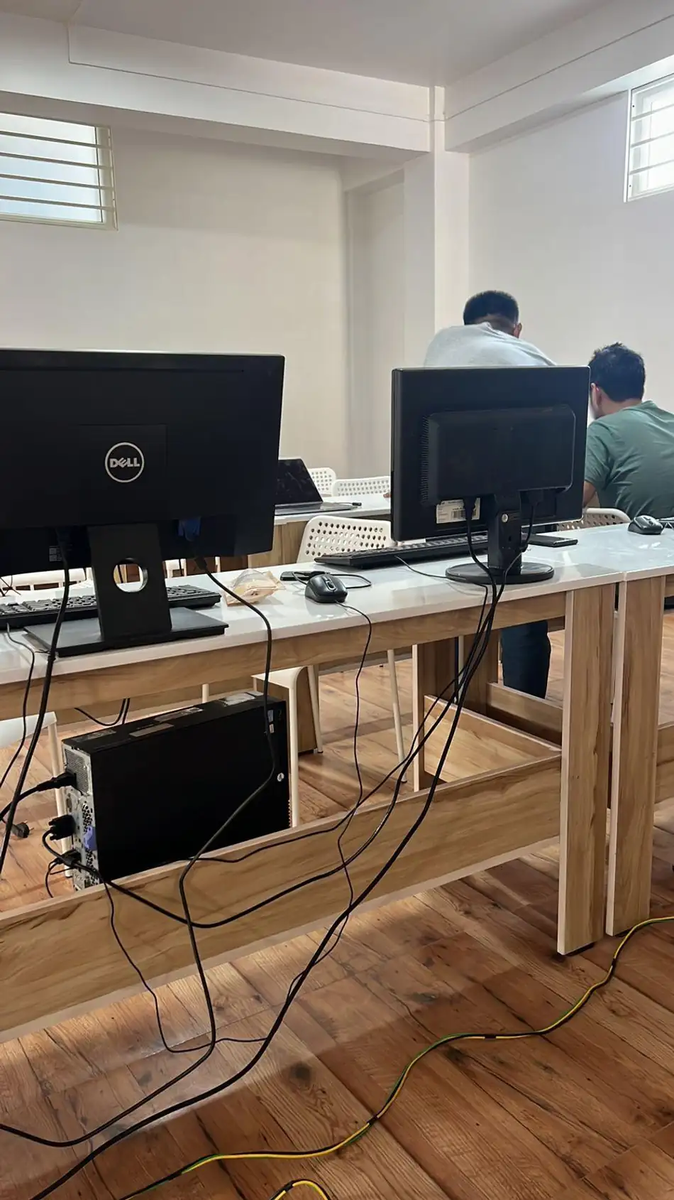
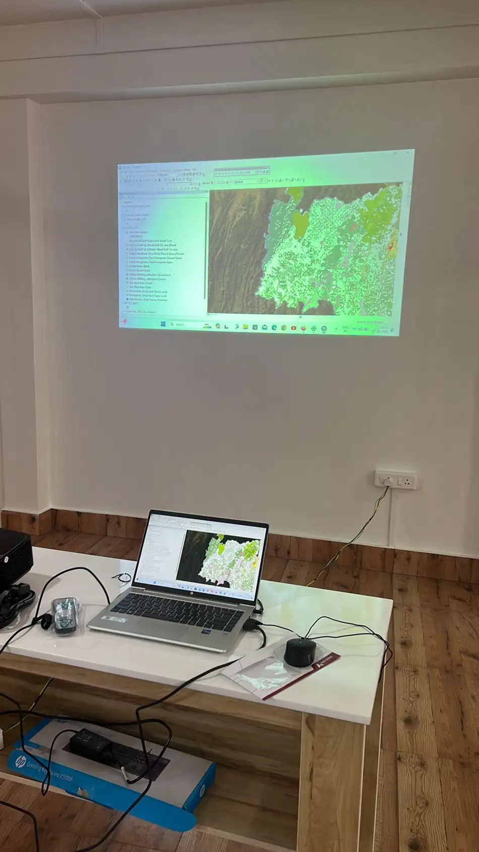
2. Hands on GIS software -ARCGIS, ERDAS, Open source GIS etc
3. Development of Mobile app.
4. Project as per team perception and homogenous groups base on subject matter and professions
Enrollment Details
Date of Commencement: 05th May 2026 (Tentative)
Class Timing: Morning – 8:30 am to 11:30am / Evening – 4:00 pm to 6:30pm
Registration Fee: Rs. 50/-
Course Fee : Rs. 20,000/- (for Working Professionals) & Rs. 15,000/- (for Students)
(Payment can be made in TWO Installments)
Venue : Laipham Khunou, Sangakpham Road near Lane-2, Opp. Mittong Lampak
Seats are Limited and Selection of trainees will be base on First Come First Serve basis.
Download: Course Brochure
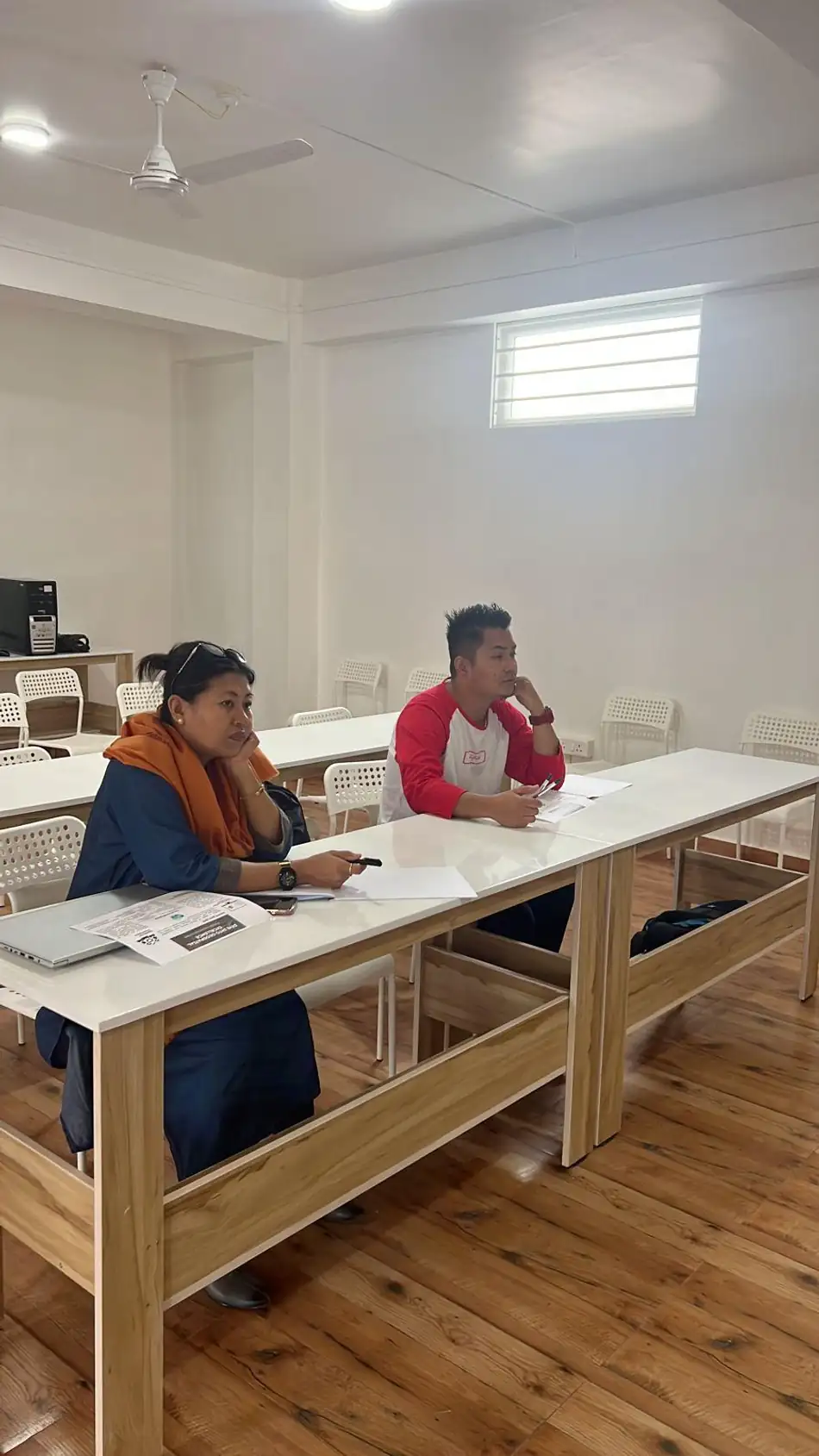
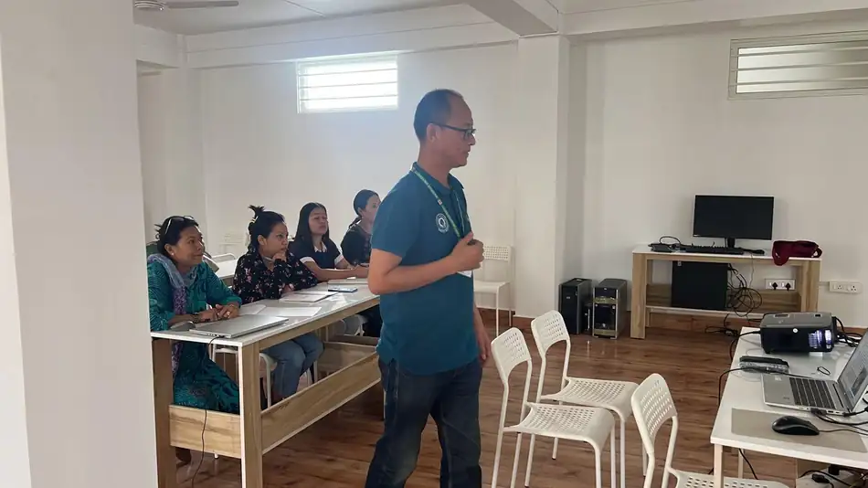
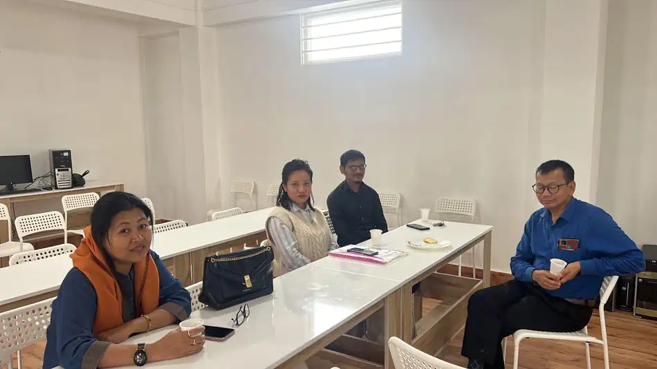
Gallery