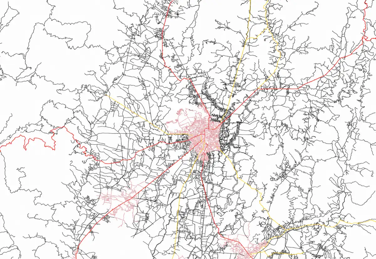
Building Projects, One Success Story At a Time.
A showcase of our work in geospatial mapping, data analysis, and GIS-based planning for natural resource management and development initiatives.
Selected Works
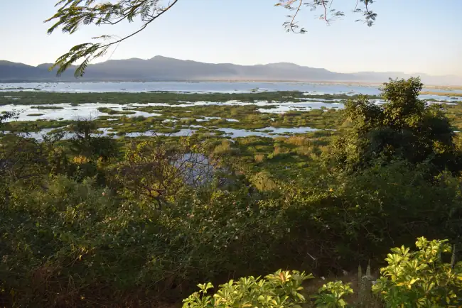
Land Information System (LIS)
Client -Manipur Remote Sensing Application Centre (MARSAC)
Completion Date -September 2024
Overview -The LIS site is a geo-spatial portal by MARSAC that aggregates land-related thematic data for Manipur — soil, slope, drainage, cadastral information, and water-bodies — and presents it via interactive maps and a gallery. It supports the broader mission of MARSAC to use remote sensing & GIS technologies for sustainable planning, natural resource management, and governance.
URL -https://marsac.mn.gov.in/LIS/index.html
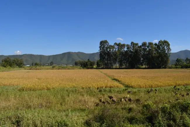
Geo-spatial based Rice Information System for Inventory & Monitoring (GeoRISIM)
Client -Manipur Remote Sensing Application Centre (MARSAC)
Completion Date -September 2024
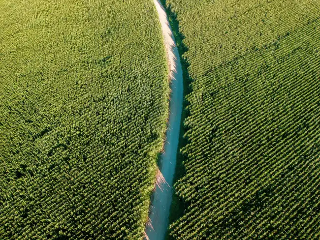
Overview -The GeoRISIM portal of MARSAC is a specialized geo-spatial platform focused on rice cultivation ecosystems in Manipur. It empowers users with interactive mapping and thematic data on soils, slope, and infrastructure connectivity, supporting inventory and monitoring of rice-growing areas. It enables data-driven planning and analysis within agriculture and natural resource contexts, primarily serving technically capable users and institutional stakeholders.
URL -https://marsac.mn.gov.in/GeoRISIM/index.html
Scheme Mapper
Client -Water Resources Department (WRD)
Completion Date -2022-23
Overview -The SchemeMapper WRD portal is a state-level geo-spatial platform designed to visualize, monitor, and analyze government schemes in Manipur. It enables map-based oversight and transparency, helping stakeholders understand scheme locations, status, and resource deployment across geography. Its effectiveness depends on data depth, update regularity, usability, and accessibility.
URL -https://schememapperwrd.mn.gov.in/
GIS Mapping of River Basin – Manipur
Client -Water Resources Department (WRD)
Completion Date -2020-22
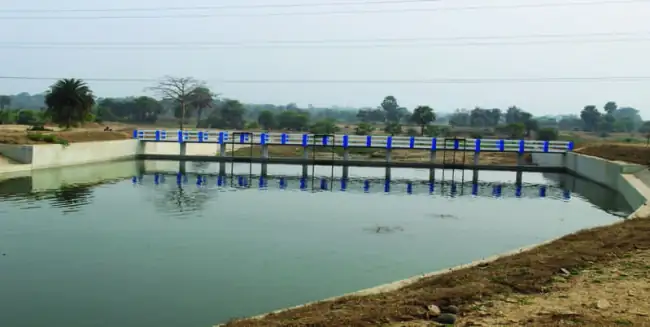
Overview -This project involved GIS-based mapping and digitization of Manipur’s major rivers and their tributaries to build an accurate geo-database of the state’s river systems. The initiative supports better planning, monitoring, and management of water resources, aiding flood control, irrigation, and sustainable river-basin development.
GIS Mapping of PMGSY Roads – Manipur
Client -Rural Engineering Department (RED)
Completion Date -2018-19
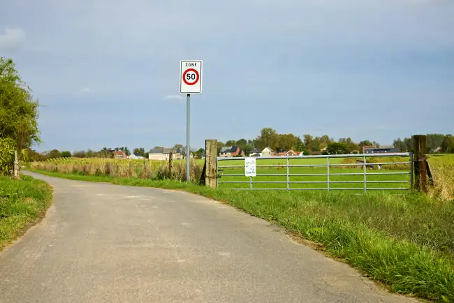
Overview -This project focused on GIS-based mapping and digitization of rural roads developed under the Pradhan Mantri Gram Sadak Yojana (PMGSY). It created an accurate spatial database of road networks to support planning, monitoring, and connectivity analysis for rural infrastructure development across Manipur.
Election Mapping for Polling Stations – Manipur
Client -DC – Imphal West & Thoubal District
Completion Date -Null
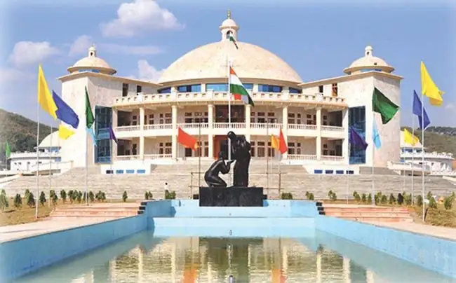
Overview -Election mapping for polling stations in Imphal West and Thoubal districts was completed to ensure accurate location details and better election management. The mapping supports verification of polling station positions, accessibility, and connectivity for smooth and efficient conduct of elections.
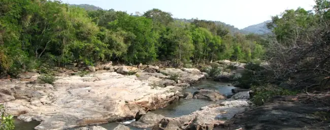
Environment Sensitive Zonation Mapping
Client -Department of Environment, Ecology & Climate Change (DOECC)
Completion Date -2015-16
Overview -The Environment Sensitive Zonation Mapping of Manipur identified and categorized environmentally sensitive areas across the state. The project supported sustainable development planning by assessing ecological vulnerability, land use patterns, and environmental risks, guiding informed decision-making for conservation and resource management.